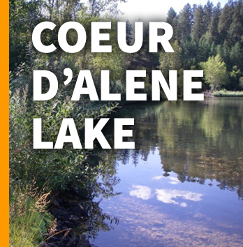
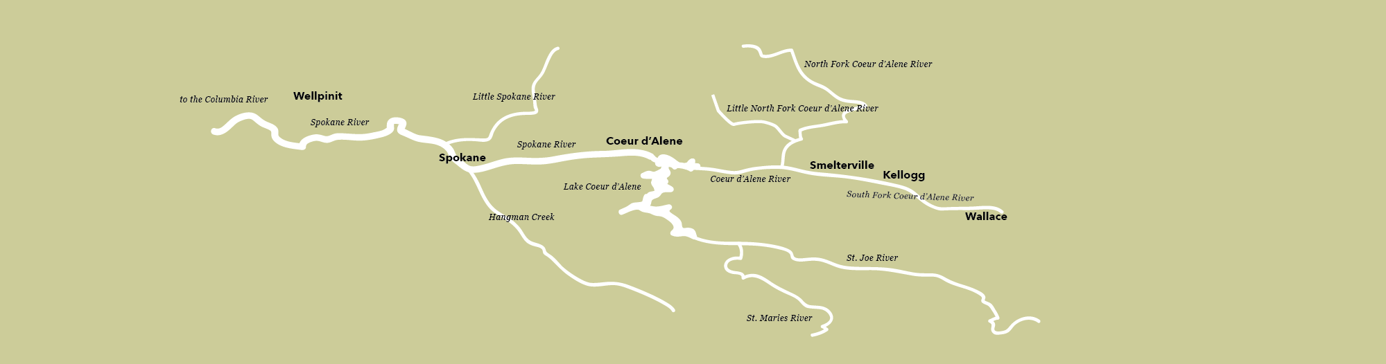
The lake was named after the Coeur d'Alene people. Historically, the Coeur d’Alenes occupied a territory of 4.5 million acres across present-day northern Idaho, eastern Washington, and western Montana. They lived in villages along the Coeur d'Alene, St. Joe, Clark Fork, and Spokane Rivers; as well as sites on the shores of Coeur d’Alene, Lake Pend Oreille, and Hayden Lake. The Coeur d’Alene tribe is a sovereign nation today, and govern the Coeur d'Alene Reservation, which includes a significant portion of the lake and its submerged lands.
Spokanites should be educated and aware of the issues facing this lake because the lake and the Spokane River are connected. Many Spokanites recreate in rivers that flow into the lake and in its headwaters. A lot of people and organizations are working to protect the lake from pollution and from the strain of overdevelopment, including the Kootenai Environmental Alliance (the oldest environmental organization in Idaho), the Coeur d’Alene Tribe, and the Idaho Department of Environmental Quality, through the shared 2009 Coeur d’Alene Lake Management Plan. [link?
The lake currently faces threats from lakeside overdevelopment, human recreation, and legacy mining. The problems caused by lakeside development are many, but disruption of the phosphorus cycle is most concerning. Phosphorus pollution flowing into Lake Coeur d'Alene has doubled since the 1990s. Phosphorus is a naturally-occurring mineral, found in soil and rocks. In a forested ecosystem, it is absorbed by plants and soil microorganisms. Once vegetation and topsoil is removed, phosphorus reaches the lake water by erosion and runoff. In the water, it acts as a nutrient, increasing growth of aquatic plants. It is readily taken up by aquatic invasive weedy species. When the plants die off in the fall, oxygen is “robbed” from the water during the decomposition process. When this happens, oxygen is no longer available for fish and other aquatic life that depend on it. Excess growth of these plants also blocks available sunlight to bottom-dwelling species, and this combination of processes speeds the problem of lake Eutrophication, or hypertrophication, is when a body of water becomes overly enriched with minerals and nutrients that induce excessive growth of plants and algae. This process may result in oxygen depletion of the water body.
The Coeur d’Alene Tribe and the Idaho Department of Environmental Quality (DEQ) are working together to quantify how nutrients are getting into the lake. Streamside erosion, upland development and timber activity, septic tanks, agricultural practices and runoff from residential developments are some of the contributors.
Lakeside development can cause a host of problems that will speed eutrophication. If fertilizers and pesticides are not precisely applied, they will end up in the water. Shorelines hardened with bulkheads, seawalls, rocks, riprap, and other structures to protect against erosion have the potential to adversely affect water quality. By manipulating the shoreline, removing native species, adding sand and other features, shoreline processes are altered, and ecologically valuable habitat is altered. In addition to shoreline disruptions, there are reportedly over 50,000 golf balls in the water in this area!
Healthy lakeside riparian vegetation looks like this (photo courtesy of Coeur d’Alene Tribe). Multi-layered native vegetation helps water quality by absorbing and softening rain, preventing erosion, filtering runoff, and providing important habitat for insects and wildlife. We noticed that most of the newer, larger homes left no native vegetation along the lake. Instead, many sandy beaches have been installed, which are not a natural feature. Unfortunately, only 25% of Lake Coeur d’Alene’s shoreline vegetation remains undisturbed. This loss is leading to warming waters, increasing erosion, and phosphorus loading in the lake.
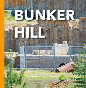
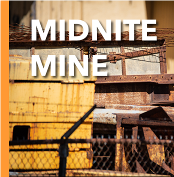
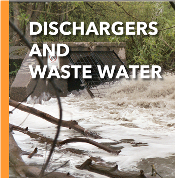
The lake’s biggest problem, however, is invisible. The lake is a repository for 75 million tons of sediment polluted with lead, cadmium, arsenic and zinc. In the early days of mining, tailings were deposited directly into the south fork of the Coeur d’Alene River. These metals have washed downstream after more than a century of mining in Idaho's Silver Valley. Today, the Bunker Hill Superfund Site is the second largest in the nation. The pollution from Bunker Hill and other mines in the Silver Valley extends both upstream and downstream from the 21-square mile "box" that is now included within the Superfund cleanup site. Due to the Clean Water Act and because mining operations have become more efficient, much less pollution is being deposited than in the past. But because of the huge amount of mine tailings in the Silver Valley, the toxic legacy will be with us for many years to come, likely forever.
The toxic metals are buried in the sediment at the bottom of the lake, beneath a layer of dissolved oxygen that acts as a barrier, keeping the toxics away from humans and fish. But as oxygen levels near the bottom of the lake decrease, the metals’ solubility are affected, and they are eventually released into the water column. For this reason, the overall goal is to try to maintain the lake in a low-nutrient status, so that dissolved oxygen remains stable.
This is a beautiful lake, and lots of folks are working to protect it.

Further Reading
- Idaho Department of Environmental Quality - Coeur d'Alene Lake Management
http://www.deq.idaho.gov/regional-offices-issues/coeur-dalene/coeur-dalene-lake-management/ - Coeur d'Alene Tribe - Lake Management Website
https://www.cdatribe-nsn.gov/lake/ - Kootenai Environmental Alliance/Lake Coeur d'Alene Waterkeeper
http://kealliance.org/
This project is supported by funds from the Washington State Department of Ecology.