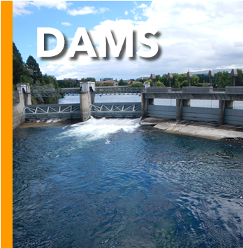
From Lake Coeur d'Alene, the Spokane River traverses the Rathdrum Prairie until reaching Post Falls, Idaho where it passes over its first dam, as well as a natural 40-foot waterfall. Continuing westward, the river passes over six more dams, three of which (Upriver Dam, Upper Falls Dam, and the Monroe Street Dam) are located in the City of Spokane.
The water then flows over the Spokane Falls, located in the heart of downtown Spokane, approximately one third of the way down the river's length. The river then flows in a zigzag course along the southern edge of the Selkirk Mountains, forming the southern boundary of the Spokane Indian Reservation, where it is impounded by the Long Lake Dam to form Long Lake, a 15-mile-long reservoir. It joins Franklin D. Roosevelt Lake on the Columbia River from the east at Miles. The site of historic Fort Spokane is located at the confluence of the Spokane and Columbia rivers.


This project is supported by funds from the Washington State Department of Ecology.