This week Dan Partridge of the State Department of Ecology announced that the snowpack in Washington State is at zero percent of normal. Snowpack feeds our surface waters, slowly melting and flowing into our rivers and reservoirs. With no snow in the mountains, the flows in our rivers are severely reduced. The Spokane River is no exception and as a result, flows are at record lows. The graph below of flows of the Spokane River at Spokane shows past and current flow as a blue line and historical minimum flow as a blue triangle. For example, on 6/17/15 the Spokane River flowed at just over 1,100 cubic feet per second (cfs). The historical minimum for June 17th is just under 2,000 cfs.
In other words, we set a new minimum flow today, at almost half of our historical minimum. 
These historic lows are about 1/10 of average. The historical mean on this day is just over 10,000 cfs. Clearly the lack of snow in the mountains has a dramatic effect on our Spokane River flows.
Other factors influence the flow of the Spokane River other than snow. The Spokane River flows from Lake Coeur d'Alene, through the Post Falls dam, and interchanges with the Spokane-Rathdrum Prairie Aquifer along the way. Currently, Avista is releasing 619 cfs out of Lake Coeur d'Alene. Their FERC (Federal Energy Regulatory Commission) to release 600 cfs from the Post Falls dam. At Spokane, the gauge reads 1120 today. So the extra 501 cfs (1120-619), comes from our aquifer.
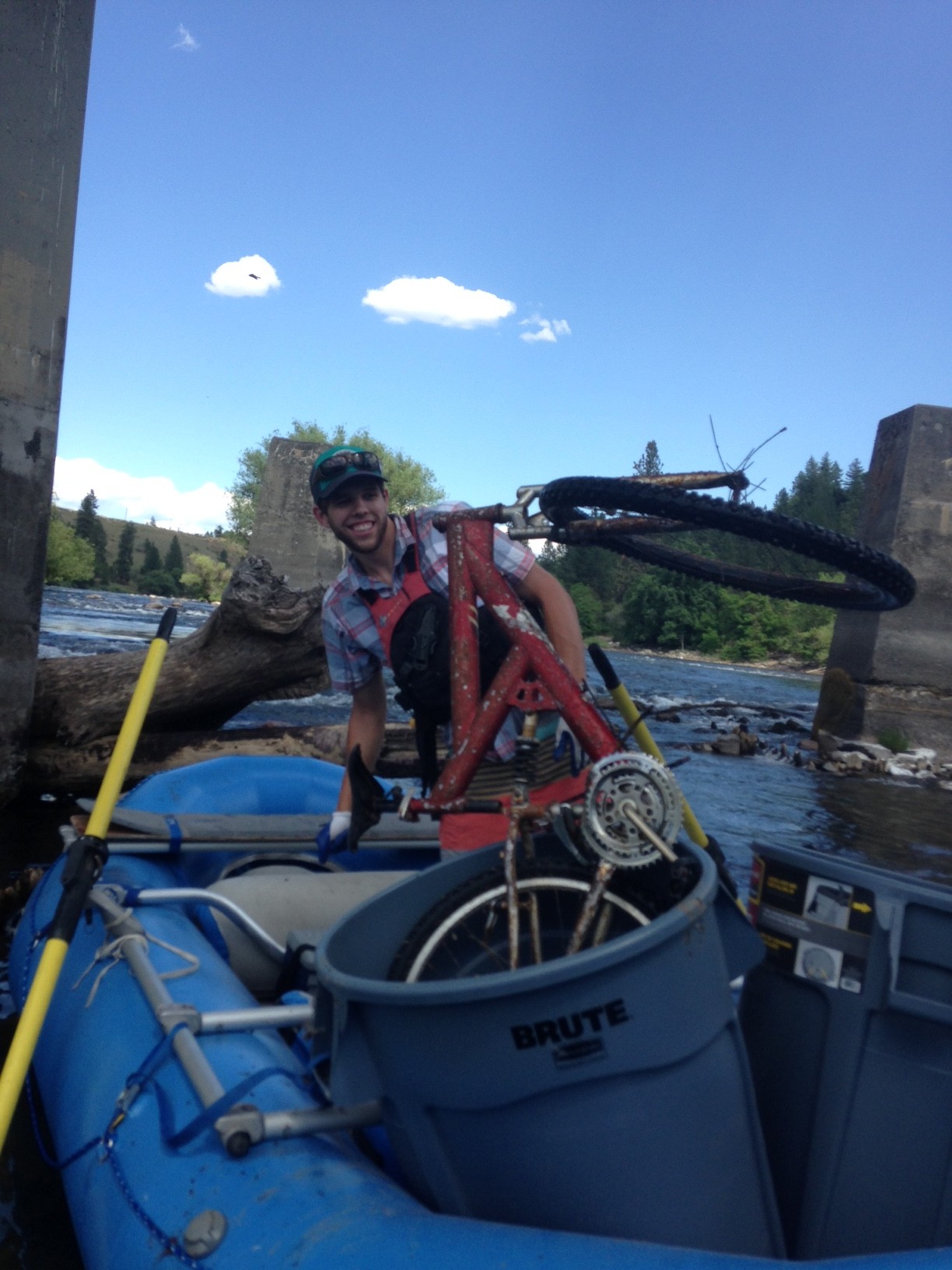
What does this mean for river users? The whitewater rafting season was cut dramatically short. Fisheries closures on the Spokane River are a possibility in the Upper River, due to the high temperatures created by the low flows. Of course, on a positive note, low water levels reveal more garbage for our river litter clean up program to clean up!